UPDATE: Severe Weather Watches for South Dakota, Iowa, Nebraska
UPDATE 1:45 PM 7/5/22
A pair of Severe Thunderstorm Watches have been issued for most of South Dakota Tuesday afternoon (7/5).
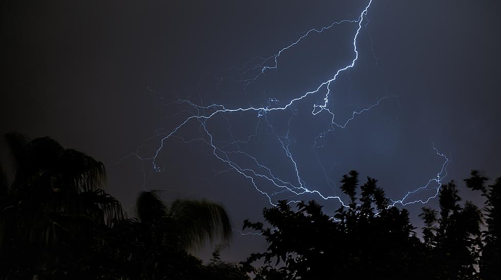
"Primary threats include...Widespread damaging winds and isolated significant gusts to 90 mph likely Isolated large hail events to 1.5 inches in diameter possible A tornado or two possible" - NWS
For Eastern South Dakota, Including Sioux Falls, the Severe Thunderstorm Watch is in effect until 7:00 PM July 5, 2022.
For the middle of the state, the Watch is until 4:00 PM
"REMEMBER...A Severe Thunderstorm Watch means conditions are favorable for severe thunderstorms in and close to the watch area. Persons in these areas should be on the lookout for threatening weather conditions and listen for later statements and possible warnings. Severe thunderstorms can and occasionally do produce
tornadoes." - NWS
Hot and muggy days surrounding the 4th of July will make way for a chance of severe weather today and later this week.
According to the National Weather Service at the time of this writing, the entire state of South Dakota falls within an area with a chance of severe weather today. Heavy rains and flash flooding are also possible.
Most of Iowa and Nebraska also fall within the same zone of possible severe weather.
The hazardous weather statement issued by the National Weather Service in Sioux Falls stated:
Storms that become strong to severe may be capable of producing damaging winds up to 75 mph and hail up to 2 inches in diameter. These storms may also be capable of producing 2 to 4 inches of rain in a short period of time, which may result in localized areas of flash flooding, especially across urban areas.
It will be best to keep your eyes on the sky if you are out and about today. Also keep yourself hydrated, especially if you will be exerting yourself at all outdoors today. dehydration and heat illness can sneak up on you quickly.
TRENDING FROM RESULTS-TOWNSQUARE MEDIA SIOUX FALLS:
- What Are The New State Laws In Minnesota, Iowa, South Dakota?
- A Look inside the Sioux Falls and South Dakota Housing Markets
- The Differences Between East River and West River South Dakota
- This Tiny South Dakota Town Named 'Safest' in Entire State
Tiny House Airbnb With WeirdToilet
More From KKRC-FM / 97.3 KKRC