Updated Flooding Impact Information from National Weather Service
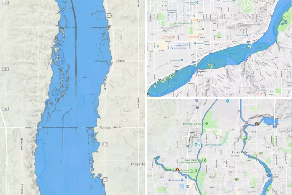
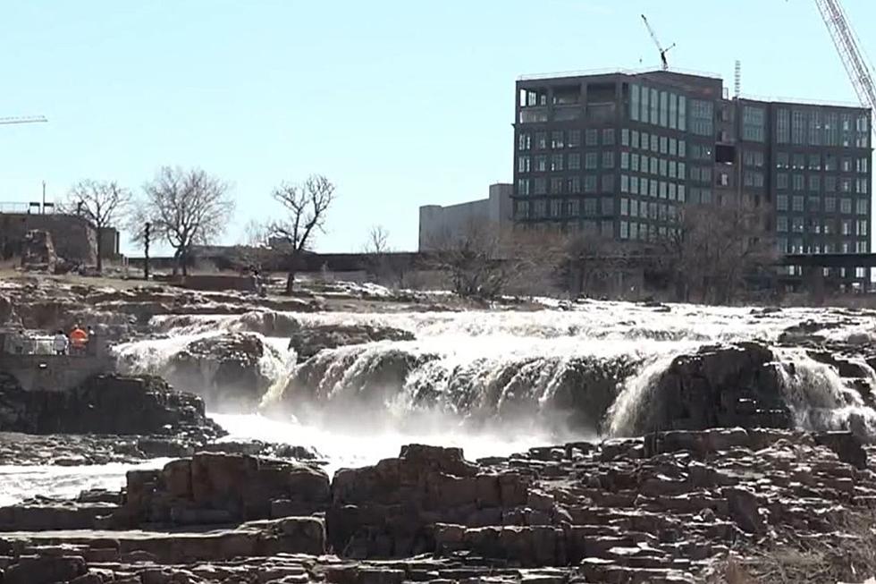
National Weather Service Meteorologist in Charge, Todd Heitkamp is addressing (if you'll pardon the expression) the "flood" of information regarding the high water conditions in and around Sioux Falls, which has been appearing on social media and elsewhere.
The good news is that due to the fact that we have been experiencing the "ideal melt" conditions, (warm daytime temperatures and freezing temps at night) according to Heitkamp, flood levels are expected to be lower than what was anticipated earlier in the week.
However, the flooding conditions are expected to last longer, but not at the levels reached in the historic 1969 flood. Communities and farms north of Sioux Falls are very likely to be affected by the rising water.
Heitkamp went on to say that, "city and county officials continue to take measures to minimize the impacts from flooding, but again, if you live near the river, please take the threat seriously."
Source: Todd Heitkamp, Meteorologist-in-Charge, National Weather Service Sioux Falls
More From KKRC-FM / 97.3 KKRC


