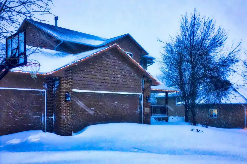
Record April Blizzard Snow Amounts South Dakota, Minnesota, Iowa
The April blizzard of 2018 was named Xanto. I believe that's Greek for "pain in the butt". Not sure though.
It started in western South Dakota on Friday, April 13 and exited the eastern portion of the state early Sunday, April 15.
This spring blizzard was responsible for the heaviest April snowstorm on record in portions of South Dakota, Minnesota, and Iowa.
Some snow fall amounts from the National Weather Service in Sioux Falls:
- Sioux Falls, SD – 14 Inches
- Mitchell, SD – 11 Inches
- Madison - 12 Inches
- Brookings, SD – 13 Inches
- Yankton, SD – 14 Inches
- Beresford, SD – 17 Inches
- Vermillion, SD - 15 Inches
- Marshall, MN - 16 Inches
- Worthington, MN – 16 Inches
- Pipestone, MN - 13 Inches
- Minneapolis, MN - 15.5 Inches
- Sioux City, IA – 17 Inches
- Sheldon, IA - 16 Inches
- Spencer, IA – 16 Inches
- Le Mars, IA - 16 Inches
And winter isn't done yet. Check out the Tuesday / Wednesday forecast from the NWS.
Tuesday: Mostly sunny, with a high near 39. East wind 5 to 10 mph.
Tuesday Night: A slight chance of rain and snow before 10pm, then a chance of snow and freezing rain between 10pm and 11pm, then snow after 11pm. Low around 28. East wind 10 to 15 mph becoming north northeast after midnight. Chance of precipitation is 90%. New snow accumulation of around 2 inches.
Wednesday: Snow before 1pm, then a chance of rain and snow. High near 37. North northwest wind 10 to 15 mph, with gusts as high as 30 mph. Chance of precipitation is 80%. New snow accumulation of around 3 inches.
Wednesday Night: Cloudy, then gradually becoming partly cloudy, with a low around 28.
See Also:
More From KKRC-FM / 97.3 KKRC


