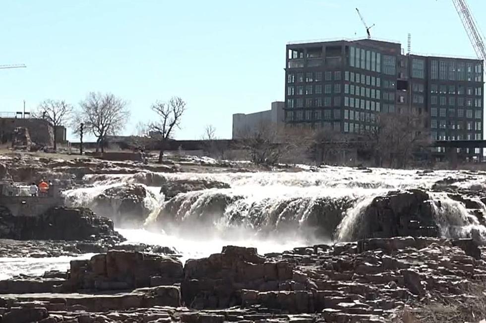
Latest South Dakota Flood Information From NWS Sioux Falls
We've all seen lots of speculation on just how Sioux Falls and the surrounding areas are going to be affected by flooding over the next few days and weeks.
Meteorologist In Charge Todd Heitkamp from the National Weather Service in Sioux Falls addressed the issue on Facebook by posting the latest information:
"Recently there has been a lot of confusing information out on Social Media concerning the upcoming Snowmelt flood and its impacts on Sioux Falls, With the help of the Big Sioux Flood Information system, the two pictures below depict the most likely flood scenario with 34,00 cfs of water flowing into the system. This does not depict any other issues occurring, such as a levee breach, which is unlikely to occur. Obviously, we need to be prepared and we at the NWS are working closely with all our partners, including the Corp, the State, County, and City officials. Be smart and take the necessary steps to protect your property!"
More From KKRC-FM / 97.3 KKRC


