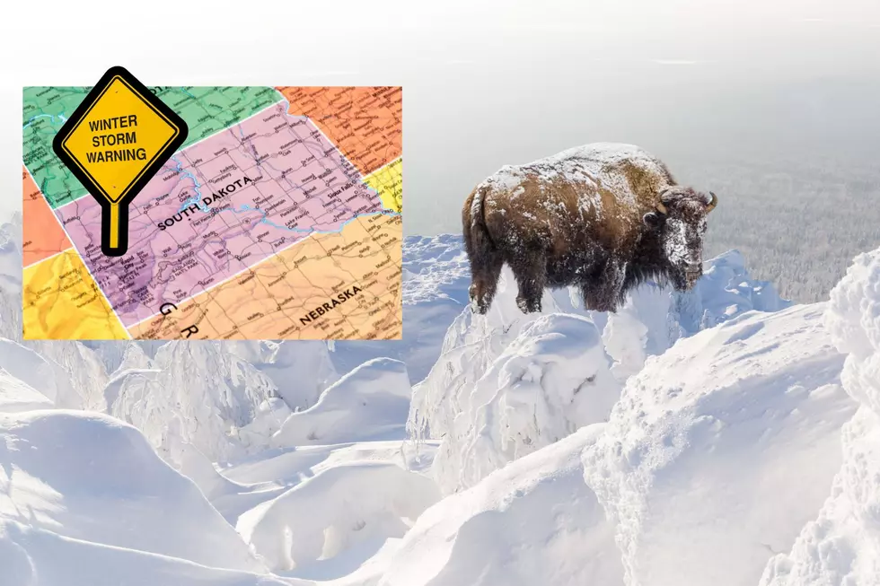
Winter Isn’t Over! South Dakota Black Hills Weather Warnings
Good grief! That's one response to the latest forecast. If it's not raining, it's snowing, or for some taking shelter due to tornadic weather conditions. But this is May.
"The snow that accumulated from 8 a.m. Saturday through 8 a.m. Sunday was the largest 24-hour period of snowfall."
The winter snowstorm leftovers from the Lake Tahoe winter storm are expected to impact parts of South Dakota this week. The higher elevations of the Black Hills will see snow. Heavy wet snow is expected above 6000 feet. Total snow accumulations of 6 to 12 inches, with locally higher amounts possible along with winds gusting as high as 60 MPH for Lawrence, Meade, and Pennington counties.

Many South Dakota weather alerts are in effect including High Wind Warnings, Winter Storm Warnings, Winter Storm Watch, and Wind Advisories.
Do you remember the snow storm in April of 1967 when a foot of snow landed in the Black Hills? How about June of 1969?
And, then in 2019 on May 22nd, another winter storm brought 22 inches to Rockerville, South Dakota. The faces of Mount Rushmore were dusted with over a foot.
What can we expect in the Sioux Falls area this week?
LOOK: Biggest snowfalls recorded in South Dakota history
Gallery Credit: Stacker
LOOK: Things You Saw at Grandma's House
Gallery Credit: Stephen Lenz
More From KKRC-FM / 97.3 KKRC


