Maps Show What Harvey’s Impact Would Look Like Around the World
So, what would happen if South Dakota was in the path of Hurricane Harvey at it's worst (yes, I know we aren't a coastal state so we don't have to deal with hurricanes - but go with me here)? Well, thanks to a little help from a friend (thanks Kristian), we took a map of Hurricane Harvey as it hit Houston and slid it over a scaled map of South Dakota.

Yikes! Needless to say South Dakota would be under water... as well as portions of Iowa and Minnesota.
Check out how Harvey would have affected other states and countries around the world...
NOTE: In the images below, Kristian used just the area of the storm that made landfall over Houston. The image above included the storm extending into the Gulf in order to show the effects on our neighboring states).
New England

Most of New York state is also covered.

As is Maine.

And Michigan.

And Washington.

Moving outside of the United States, the storm impact would cover half of Poland.

All of Ireland.

And Switzerland.

The impact would cover most of Estonia, Latvia, and Lithuania.

Most of Iceland.

And Hungary.

Spinning the globe a little more, and all of Israel would be underwater.
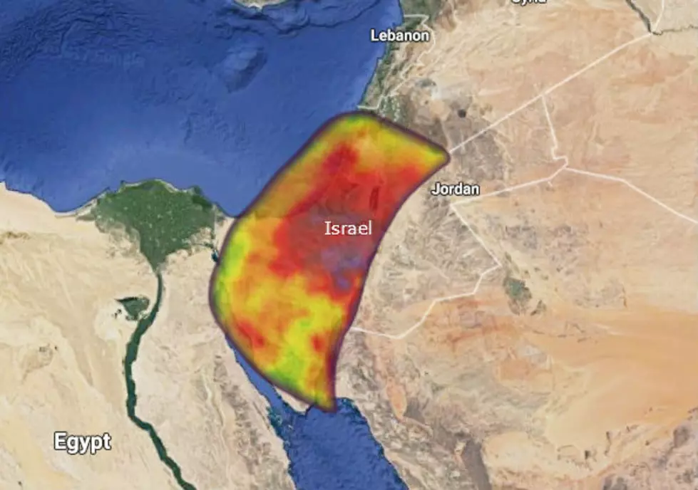
As would Syria.

Heading back west, Costa Rica is covered.

As is Honduras.

Haiti and the Dominican Republic.

Going east shows the impact covering North Korea.
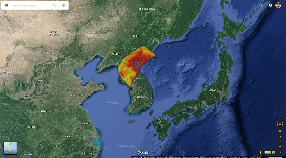
And Taiwan.

Honestly, we could keep going for days, but you get the idea. Texas is a BIG state, and this should help people not from the area understand just how far Harvey's impact has reached.
It's not just Houston.
More From KKRC-FM / 97.3 KKRC